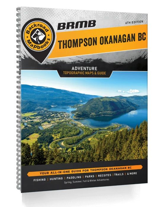
Thompson Okanagan BC 6th edition
Covering the heart of BC’s interior, including the cities of Kamloops, Kelowna, Merritt and Penticton, this Mapbook is your ultimate guide to camping, hiking, fishing, ATVing, snowmobiling, hunting, cross-country skiing, paddling and more in this incredible region. From the lush forests of Manning Provincial Park to the sparkling waters of Okanagan Lake, the arid desert landscape around Osoyoos, the pristine beaches of the Shuswap and the vast wilderness of Wells Gray Provincial Park, the Thompson Okanagan is an outdoor explorer’s paradise. To help you make the most of your time in this incredible area, the Backroad Mapbooks team has created the most comprehensive, detailed and easy-to-use Mapbook available for the region, so you can embark on the outdoor adventure of your choice with confidence.
We have spent countless hours updating our maps and expanding our written content to allow you to navigate this magical part of BC as smoothly as possible. Our maps now feature private and leased land, labelled sportfish species for lakes and rivers, updated fish stocking and hiking trail charts, an updated and expanded Community Profiles section plus countless new roads, trails and paddling routes. Of course, this Mapbook includes all the classic features you have come to expect from our products including industry-leading topographic relief and shading, thousands of adventure Points of Interest, written Adventure descriptions and much more. No other navigational tool provides you with as much recreation information for the Thompson Okanagan as this one.
Topographic Maps
The latest edition of our Thompson Okanagan Backroad Mapbook contains 51 maps at 1:200,000 scale. Our industry-leading road coverage shows you all the highways, rural roads, forest service roads and resource roads, plus multi-use trails for hiking, cycling, horseback riding, ATVing, snowmobiling, snowshoeing and cross-country skiing. We also show you private and leased land, First Nations reserves, provincial and national parks, paddling routes and portages, ecological reserves, glaciers, wetlands and thousands of Adventure Points of Interest. These 21.5 cm x 28 cm (8.5 x 11 inches) maps are printed on thick, durable paper protected by a heavy-duty spiral-bound cover. You won't find a longer-lasting, easier-to- use or more detailed collection of maps for the Thompson Okanagan anywhere else.
Index
Our handy index is divided into Map and Adventure sections to make it as easy to use as possible. Here you will find page numbers and map coordinates for each activity and location, community information, activity chart information boxes for trails and stocked fish, plus important numbers and an advertiser list for easy referencing.
Service Directory
Our convenient service directory lists the best places to find accommodations, supplies, tours and guides in the Thompson Okanagan, including hunting and fishing equipment and overland gear in Merritt, Little Fort, Kelowna, Clearwater, Princeton, Penticton and more.
Community Profiles
Included in this Mapbook are Community Profiles for the region's major centres, including the Thompson Valley (Valemount, Blue River, Clearwater, Lower North Thompson), Gold Country (Clinton, Logan Lake, Ashcroft, Lytton, Merritt), the Shuswap (Chase, Salmon Arm, Sicamous, Enderby, Armstrong), the Okanagan (Lumby Vernon, Lake Country, Peachland, Kelowna, Summerland, Okanagan Falls, Penticton, Oliver, Osoyoos), Similkameen Valley (Princeton) and Boundary Country (Christina Lake, Grand Forks, Greenway, Midway). These profiles fill you in on the best things to see and do in the outdoors around these communities, plus offer insight into local history, culture and where to find services and accommodations.
