BC Topo Map Rogers Pass, Glacier NP BC
Rogers Pass - Glacier National Park Map BC
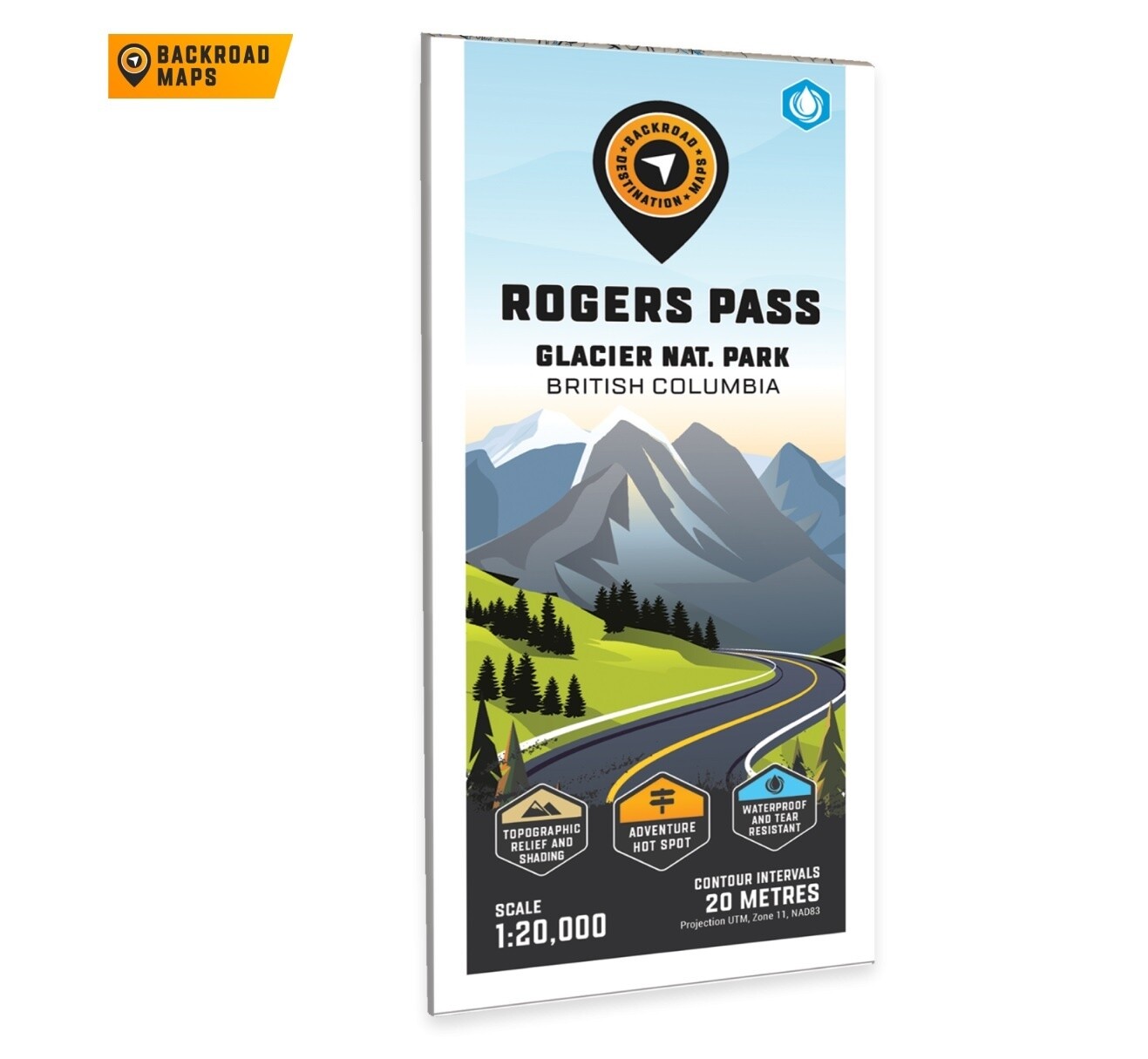
Focusing on the Rogers Pass area of Glacier National Park, this BRMB Adventure topographic map highlights all the access roads, campgrounds, backcountry huts and cabins, caves, historic sites, trails for hiking, backcountry skiing and more! This Adventure map features our industry-leading topographic contours and relief shading and includes the areas surrounding A O Wheeler Hut, Asulkan Hut, Asulkan Valley Trail, Avalanche Mountain, Balu Pass Trail, Bonney Glacier, Illecillewaet River, Loop Brook Campground, Meeting of the Waters Trail, Mount Abbot, Nakimu Caves, Sapphire Col Hut, Youngs Peak Traverse and more!
The printed ve
Showcasing the best places to take part in your Adventure of choice, the large-format Destination Adventure maps are easy to use and carry. Printed on durable waterproof paper or downloadable to your smartphone, the Adventure maps chart countless places for camping, fishing, hiking, paddling, off-roading, snowmobiling, wildlife viewing, winter recreation and everything in between. These maps have enhanced topographic detail to help provide real world visualization and include more recreational points of interest, roads, trails and paddling routes than any other map on the market.
- Large-scale printed or digital maps that are easy to read
- Seamless map coverage that requires no page turning
- Industry-leading cartographic detail and topographic relief shading and contour intervals
- Multi-use trail systems and trailheads for hiking, horseback riding, mountain biking, cross-country skiing and snowshoeing
- Motorized trail systems for ATVing, off-roading and snowmobiling showing trailhead & staging locations
- Paddling routes including portages, campsite locations and number of tent sites
- Includes National, Provincial and Regional Parks including campsites and day-use locations
- Highlighted park boundaries along with Crown & private land areas
- Hundreds of land and water geographic features
- UTM grids with latitude and longitude make navigating the map easy
- And much more!
rsion of the map is displayed at 1:35,000 scale on 61 x 94 cm (24 x 37 in) paper. You can choose between having the map printed on regular water-resistant paper or a more durable waterproof synthetic. The Wall Maps have been customized to display nicely and fit into common picture frame sizes so you can hang on the cabin, home or workshop wall. They are available in three different sizes and come printed on the waterproof synthetic material.
Print Features:
- Printed on regular water-resistant paper or durable waterproof and tear-resistant material
- Includes industry leading cartographic detail and state-of-the-art relief shading
- Countless points of interest, hiking trails, campsites, boat launches, paddling routes and more!
- Easy to read, large-scale 61 x 94 cm (24 x 37 in) map at 1:35,000 scale
- Seamless map coverage requires no page turning

